
Situated between Braunton Great Field and the Taw estuary is Horsey Island and the Braunton Marshes.
The whole area was once a salt marsh absorbing sea water flowing in through the estuary, but in 1811 work began to reclaim the marshes using a combination of 16 miles of drainage ditches and sluice gates at Velator which are still operational today.

Once completed, a bank was built all around the reclaimed land to protect it from the tides. This became known as the Great Sea Bank.
In 1850 work began on straightening Braunton Pill, the stretch of water between the River Caen and the Taw esturary. This allowed larger sea vessels to access Braunton via Velator Quay, which lead to the growth of shipping in Braunton.
Further reclamation work followed which enclosed an area known as Horsey Island. It is not actually an island but does jut out into the estuary.
Not so long ago it was possible to walk along the sea bank right around the island perimeter which gave fantastic views of Wrafton and Barnstaple, but in 2018 the sea barrier was breached during a series of storms and the sea quickly moved in to reclaim the land.
For a while it was unclear what the future had in store for Horsey Island. There were plans to rebuild the sea defences and reclaim the land, but the increase in high winds and storms due to climate change would have left it vulenrable to further damage in the future, so the decision was made to sell the land to The Devon Wildlife Trust who intend to keep it as a nature reserve.
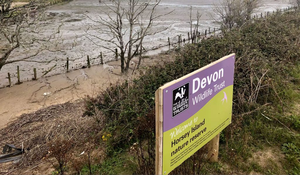
While Horsey Island may be lost to the sea, life goes on as normal for the rest of the marshes with cattle and sheep farming being the main use of the land. The whole area is managed and maintained by The Braunton Marsh Inspectors.
There are few public footpaths through the marshes, but there is access via a public road which separates the marshes from the Great Field, starting at Velator and ending at Sandy Land, near to the Braunton Burrows.
Leading off this road is a private toll road which leads to Crow Point car park. To the side of the road is a public footpath which forms part of the South West Coast Path. The path runs along the top of one of the sea defence walls. Heading south to Crow Point will give you views of the marshes on your right and Horsey island on your left.
This footpath is included in our walks around Braunton page
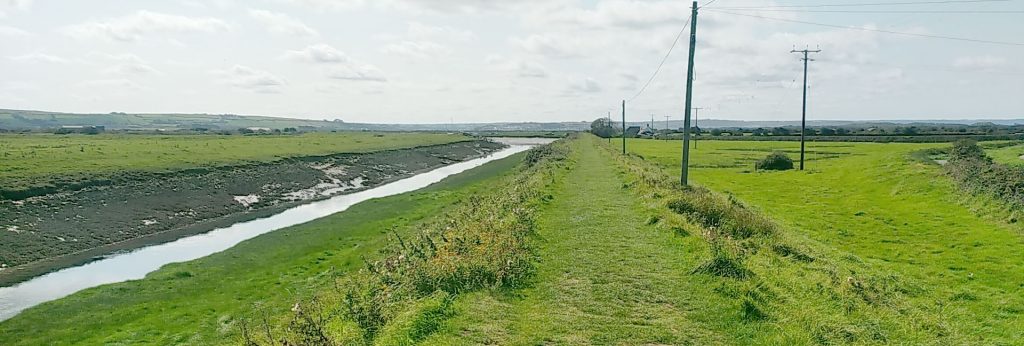
The whole area is teeming with wildlife and in particular birds. There is a mixture of ground nesting birds, estuary and sea birds and birds of prey such as owls. In the autumn the place comes alive with migrating birds such as geese.
On Facebook you will find a page called The Friends Of Braunton Marsh which contains some breathtaking images of scenery and wildlife:
Friends of Braunton Marsh Facebook page